Maritime intelligence strengthened by trusted global data partnerships
Transform fragmented maritime data into unified, decision-ready intelligence.

Verified intelligence powered by a global partner ecosystem
Big data is everywhere in maritime. Multiple feeds, inconsistent formats, conflicting records, and varying quality make it difficult to extract reliable intelligence.
We remove this complexity by integrating, validating, and enriching maritime data from more than 3,000 global sources, in combination with our proprietary data.
Our partner ecosystem spans AIS networks, satellite imagery, emissions analytics, insurance intelligence, vessel ownership and characteristics, and cargo tracking. Each dataset is processed, verified, and harmonised into a single maritime intelligence layer.
The result is trusted, connected intelligence that supports vessel tracking, compliance screening, risk assessment, and market analysis without the burden of managing multiple providers.


Siglar Carbon
Carbon and emissions intelligence.
Siglar Carbon provides verified emissions and carbon intensity intelligence to support regulatory compliance and decarbonisation analysis. Integrated into maritime intelligence workflows, this data enables monitoring of vessel emissions exposure, environmental performance, and compliance with evolving regulations such as EU ETS and CII.
Combined with vessel tracking and ownership intelligence, Siglar Carbon data supports both operational decision-making and sustainability reporting.

Vortexa
Cargo intelligence and trade flow visibility.
Vortexa delivers advanced cargo tracking and commodity intelligence across global energy and bulk markets. This partnership enhances visibility into cargo movements, ship-to-ship transfers, and trade flows, supporting sanctions screening, market monitoring, and risk assessment.
Integrated with vessel tracking and ownership intelligence, Vortexa data strengthens detection of deceptive shipping behaviours and improves trade transparency.

SynMax
Satellite imagery and activity detection.
SynMax provides satellite imagery analytics that identify operational activity at sea and in port. This includes vessel detection, infrastructure monitoring, and behavioural insights that complement AIS-based tracking.
By combining imagery-derived intelligence with AIS and ownership data, users gain enhanced visibility into dark activity, spoofing, and high-risk behaviour.

Kinéis
Satellite AIS coverage and global reach.
Kinéis provides satellite AIS data that enhances coverage in remote and offshore regions. This strengthens global vessel tracking, reduces coverage gaps, and improves voyage reconstruction.
Combined with terrestrial AIS and proprietary sources, Kinéis data supports continuous monitoring and improved tracking reliability.
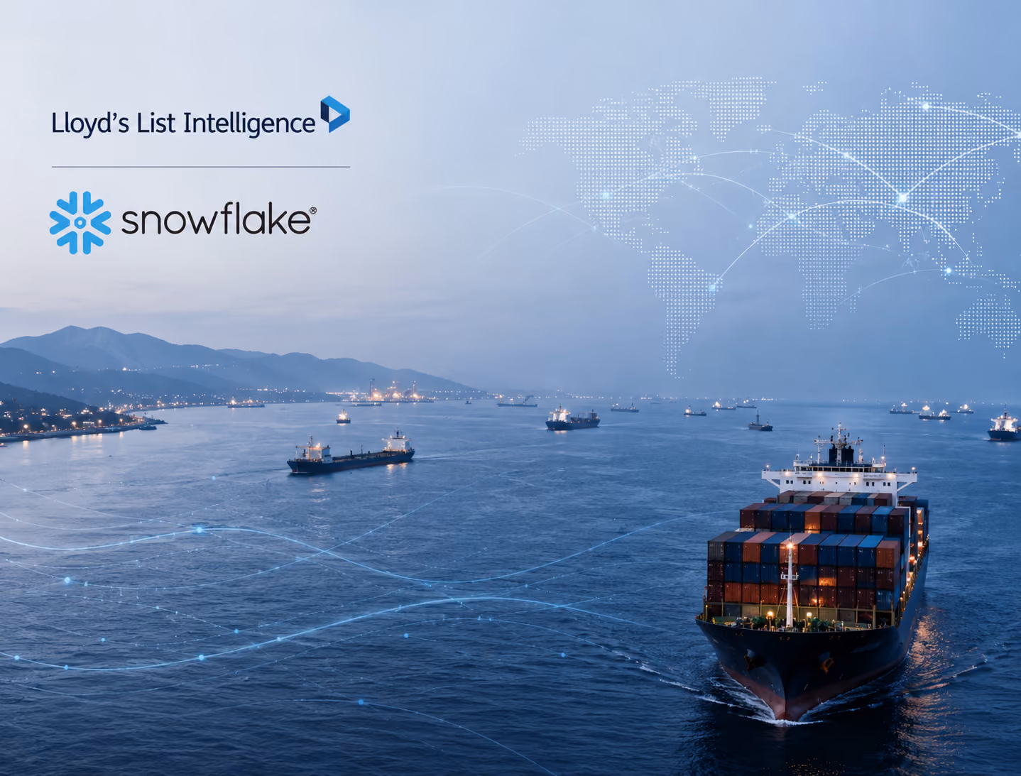
Leverage the power of snowflake
Snowflake provides a scalable, cloud-based platform for managing and integrating Lloyd’s List Intelligence maritime data into your workflows.
With real-time data access, streamlined ingestion and analytics, and elastic infrastructure that scales with demand, Snowflake enables faster insights, simplified data management, and cost-efficient access to large maritime datasets.
.avif)
Partner-driven intelligence delivers stronger maritime visibility

Broader intelligence coverage
Bringing AIS, cargo, emissions, imagery, and risk data into one view.

Reduce vendor complexity
Eliminate the need to manage multiple data providers.

Strengthen risk detection
Cross-source validation improves detection of anomalies and threats.
Related products


Connected Maritime Intelligence
Our partner ecosystem strengthens maritime intelligence across tracking, compliance, risk, and analytics. Each dataset is validated, integrated, and continuously improved to deliver a unified, trusted maritime view.


.avif)
.avif)
.avif)
.avif)