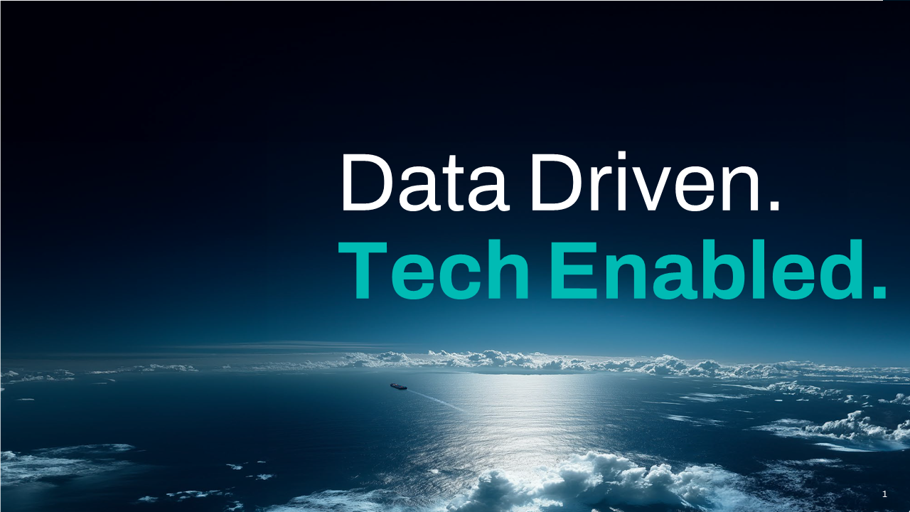

Maritime intelligence begins with data—vast, dynamic, and flowing from every corner of the globe. But raw data alone isn’t enough. To truly empower decision-making, that data must be accurate, comprehensive, and ready to act on.
Behind every vessel tracked, every risk mitigated, and every opportunity unlocked is SeaTech™, a meticulously built ecosystem of data sources, advanced technologies, and human expertise. This is the story of the data that powers maritime visibility.
.jpg?w=8192)
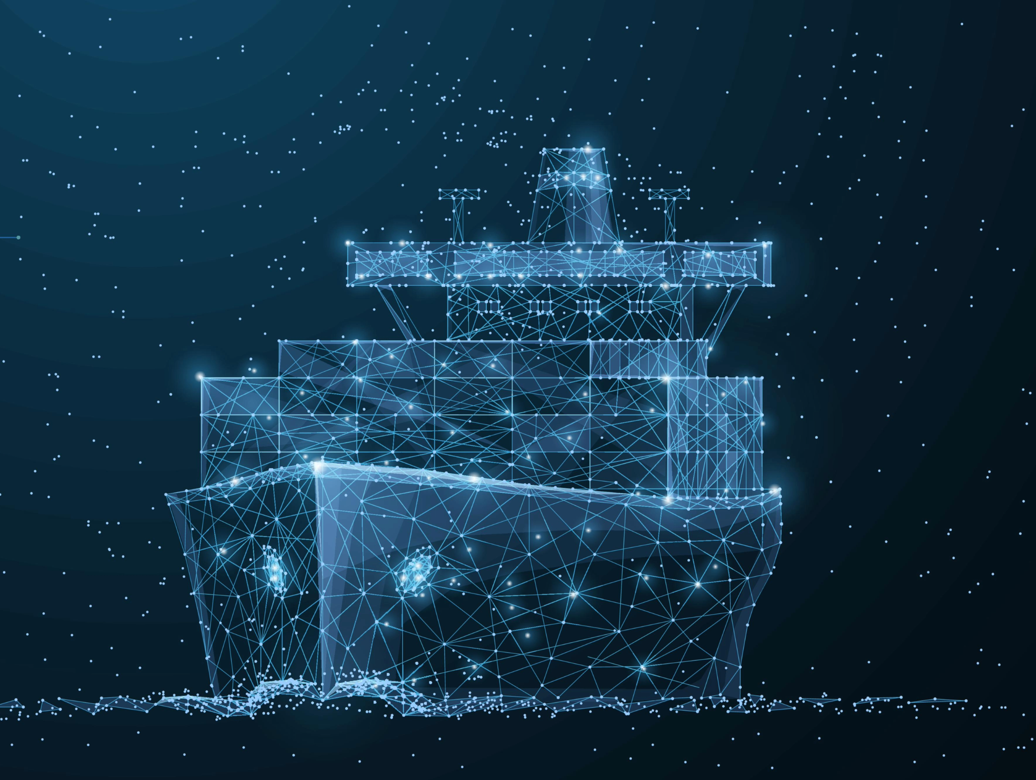
The cornerstone of our data lies in a proprietary terrestrial AIS network built to deliver precision, reliability, and unrivalled coverage. Covering 12,000+ ports worldwide, it provides more than 80% of all AIS positions, forming the backbone of global maritime tracking.
This network outperforms satellite AIS in high-traffic zones such as busy ports, shipping lanes, and coastal chokepoints, where real-time, ground-level accuracy is paramount. Each receiver is strategically positioned to deliver the clarity and timeliness maritime stakeholders need for informed decision-making.
What does this mean for maritime intelligence?
From the busiest shipping lanes to strategic terminals, our proprietary terrestrial AIS network is the foundation of accurate and actionable maritime intelligence, providing the insights you need to track and understand the world’s trade flows.
Maritime operations are fluid, crossing borders, seas, and zones where terrestrial coverage isn’t always enough. This is where shipborne AIS steps in—ensuring that critical data gaps are filled, even in high-traffic or remote areas.
Shipborne receivers, positioned onboard vessels, work tirelessly to collect and transmit positional data. By operating closer to the source, they provide more frequent updates, minimise latency, and reduce message collisions. This complementary layer of data ensures continuity and improves the quality and reliability of maritime intelligence.
Why does this matter?
With shipborne AIS, maritime stakeholders gain a critical layer of data that bridges gaps and enhances the overall accuracy and timeliness of vessel tracking.

The open ocean presents unique challenges for maritime visibility, especially in remote and deep-sea regions. Satellite AIS complements terrestrial and shipborne data by extending coverage to areas beyond the reach of land-based or onboard systems. This layer of data helps fill in gaps and supports a more comprehensive view of vessel movements when needed.
By capturing AIS signals from orbit, satellite AIS enhances maritime tracking capabilities in remote locations and deep-sea areas, ensuring stakeholders have a dependable layer of data to support critical decisions.
How does satellite AIS elevate visibility?
While satellite AIS is a valuable component, it is most effective when combined with the precision and reliability of terrestrial AIS and the enhanced frequency of shipborne AIS. Together, these data sources deliver the most complete and actionable maritime intelligence available.

Data is powerful, but human insight brings it to life. Our exclusive partnership with the Lloyd’s Agents network adds a layer of unparalleled local expertise, ensuring that our AIS network doesn’t just cover the globe—it understands it.
With over 250 agents and 300 sub-agents in 170 countries, our network extends into strategic locations and sensitive ports where few others operate. These experts provide:

SmartMatch ensures that every piece of data is not only clean, validated, and accurate but also seamlessly integrated to provide a comprehensive view of maritime activity.
This advanced system blends data from multiple AIS sources—terrestrial, shipborne, and satellite—aligning it with vessel characteristics, ownership records, and movement patterns. By bringing together these diverse data points, SmartMatch creates a unified and consistent picture of the global fleet.
How SmartMatch works to deliver reliable data:
This technology guarantees that the data you rely on isn’t just abundant—it’s cohesive, actionable, and trustworthy, enabling faster and smarter decision-making.
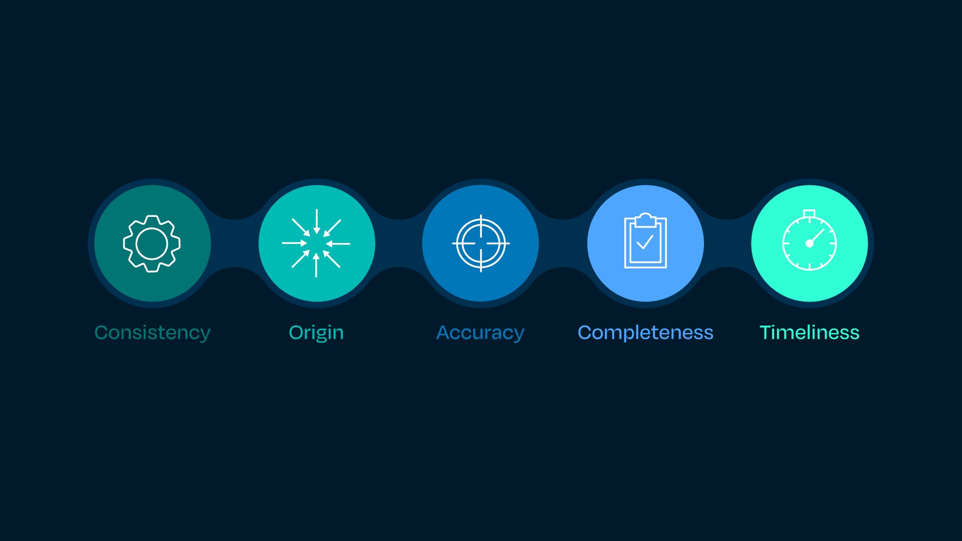
Handling vast amounts of data is no small task. The COACT framework is our commitment to delivering actionable intelligence through a foundation of Consistency, Origin, Accuracy, Completeness, and Timeliness.

From land to sea to space, every element of our data ecosystem works together to deliver the most comprehensive maritime intelligence available. It’s not just data; it’s clarity in a complex and dynamic world.
This unified foundation powers a suite of advanced insights and analytics, transforming raw data into actionable intelligence. With AIS data at its core, our ecosystem extends into:
We will call you back as soon as possible.
